About the Centre
Groundwater knowledge as public infrastructure
The Centre exists so that decisions about water in Taraba State rest on measured evidence rather than guesswork — from village boreholes to state-wide resource planning.
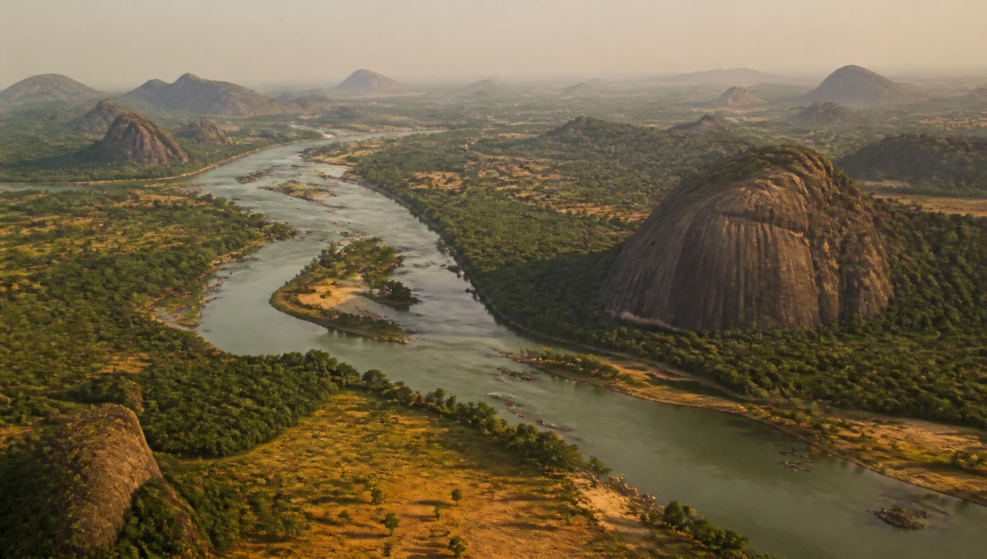
Acquire
Systematic geophysical surveys, supervised drilling and pump testing, water sampling and remote sensing across the state's hydrogeological provinces.
Curate
Every record is stored with units, coordinates, methods and provenance, so results can be reproduced and compared across campaigns.
Publish
Public data is open for planning, research and investment. Sensitive or unpublished work stays restricted until the Centre releases it.
Data governance
Records carry a licence, a citation and a publication state. Public datasets are readable by anyone; restricted datasets require a verified account and, where relevant, written permission from the data owner.
Contributions are reviewed against the Centre's templates before publication, and contributors keep attribution on their data. Downloads are logged so the Centre can report on how the archive is used.
The archive is stored in analysis-ready form so it can support predictive modelling of groundwater potential and borehole yield as the dataset grows.