Taraba Centre for Hydrogeological Studies
The groundwater repository of Taraba State, in one place
A central platform to manage, visualize and share vertical electrical sounding, borehole, hydrogeological, geochemical and geospatial data — built for researchers, government, drillers and developers.
- 4,000+
- VES soundings acquired
- 43+
- Drilled boreholes with pump tests
- 12
- Geospatial raster layers
- 3D
- Geological & hydrogeological models
Browse through our plethora of resources
Find official datasets that help citizens, businesses, investors and developers access verified groundwater information for Taraba State.
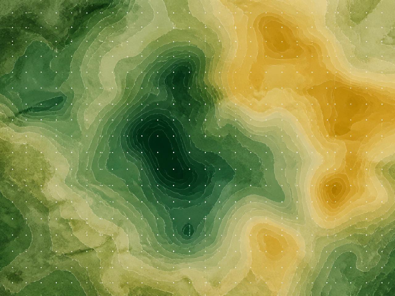
Interactive mapping
Every layer, one canvas
Select a data type and it appears on the map immediately — VES points, boreholes, sample sites and raster overlays with adjustable opacity.
AI assistant
Ask questions about the archive and get grounded summaries that cite the records used.
Built for ML
Analysis-ready storage so predictive groundwater models can plug straight in.
What the archive holds
Six families of data, one schema
Vertical electrical sounding
Raw and processed resistivity curves with inversion summaries, layer models and interpreted depths.
Boreholes & pump tests
Lithology logs, screen intervals, drawdown and recovery series, transmissivity, storativity and yield.
Hydrogeological parameters
Porosity, permeability, static and dynamic water levels, specific capacity and aquifer classification.
Geochemistry
Major ions, trace metals, pH, EC, TDS and water quality indices with spatial parameter maps.
Geospatial layers
Elevation, slope, drainage, distance to road, groundwater potential and aeromagnetic derivatives.
3D models
Geological and hydrogeological models in DXF with animated in-browser preview scenes.
How the platform works
Explore on the map
Toggle any data type and it renders instantly — points, sample sites and raster overlays with legends.
Query and download
Filter by geography, depth and parameter ranges, then export CSV, XLSX or GeoJSON under a clear licence.
Contribute your data
Verified users submit data on published templates. Every submission is screened and approved by the Centre.